
Pamono 18th Century Antique English Framed Cartography County Map of Cheshire from Robert Morden
Original price was: $954.00.$122.89Current price is: $122.89.
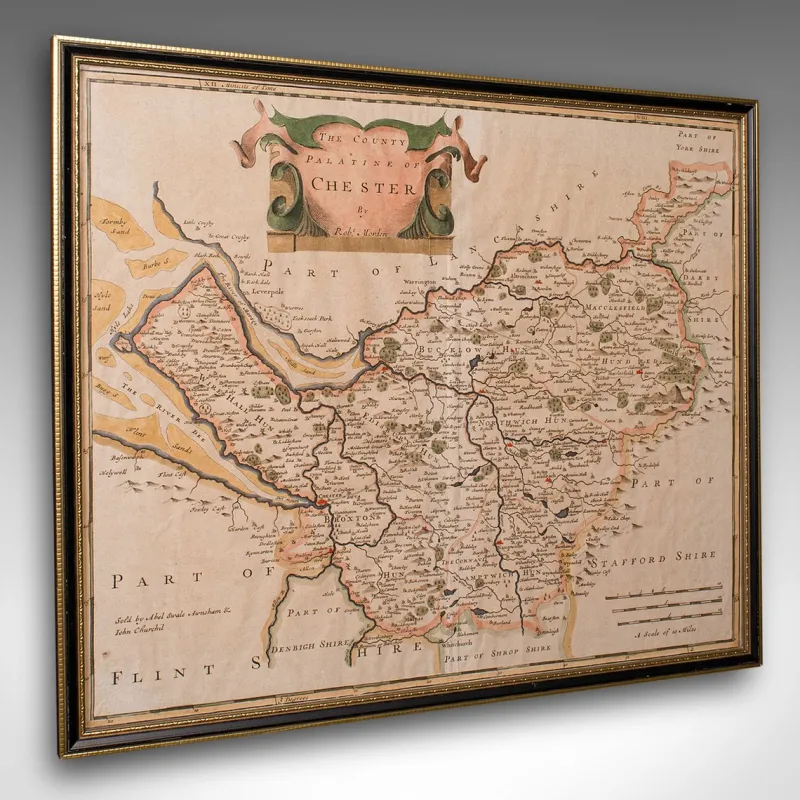
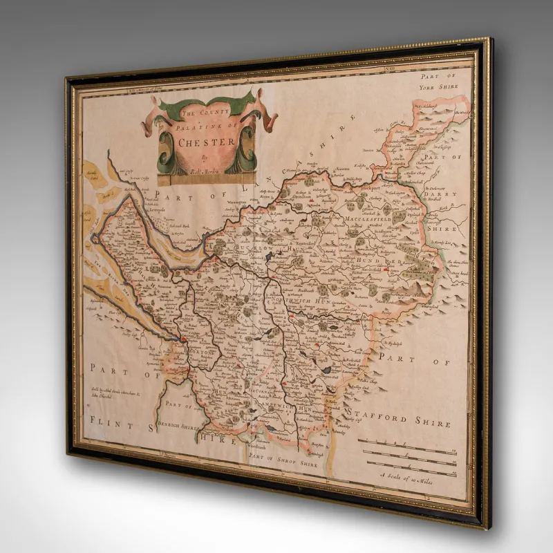
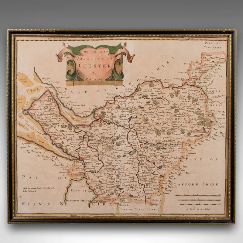
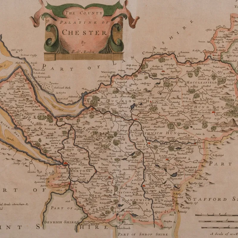
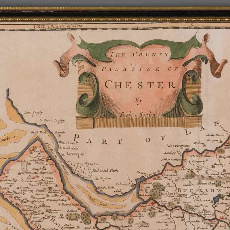
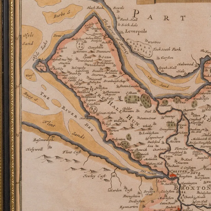
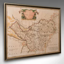
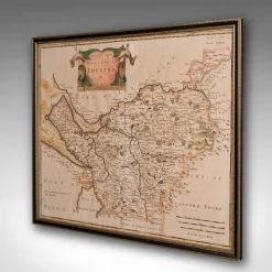
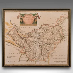
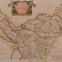
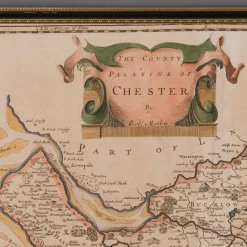
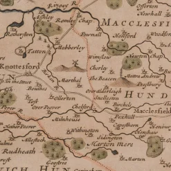
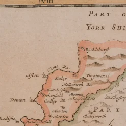
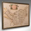
Fascinating 18th century map of the County and Palantine of Chester, brimming with historic detail and charm
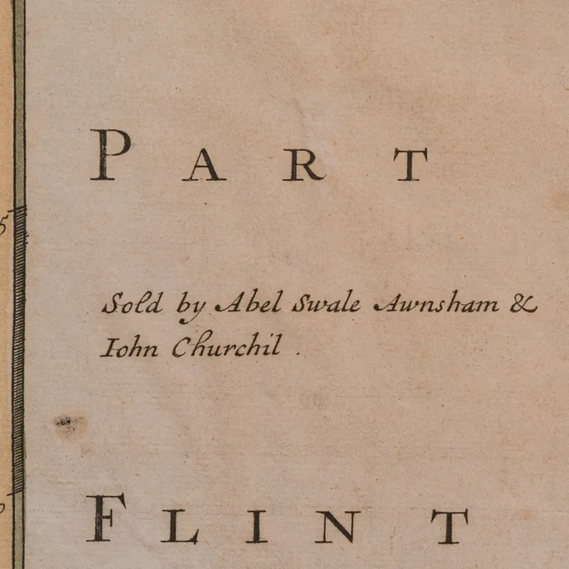
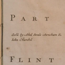
Posthumous reproduction of Robert Morden’s celebrated work, as published in Magna Britannia by Thomas Cox, 1720
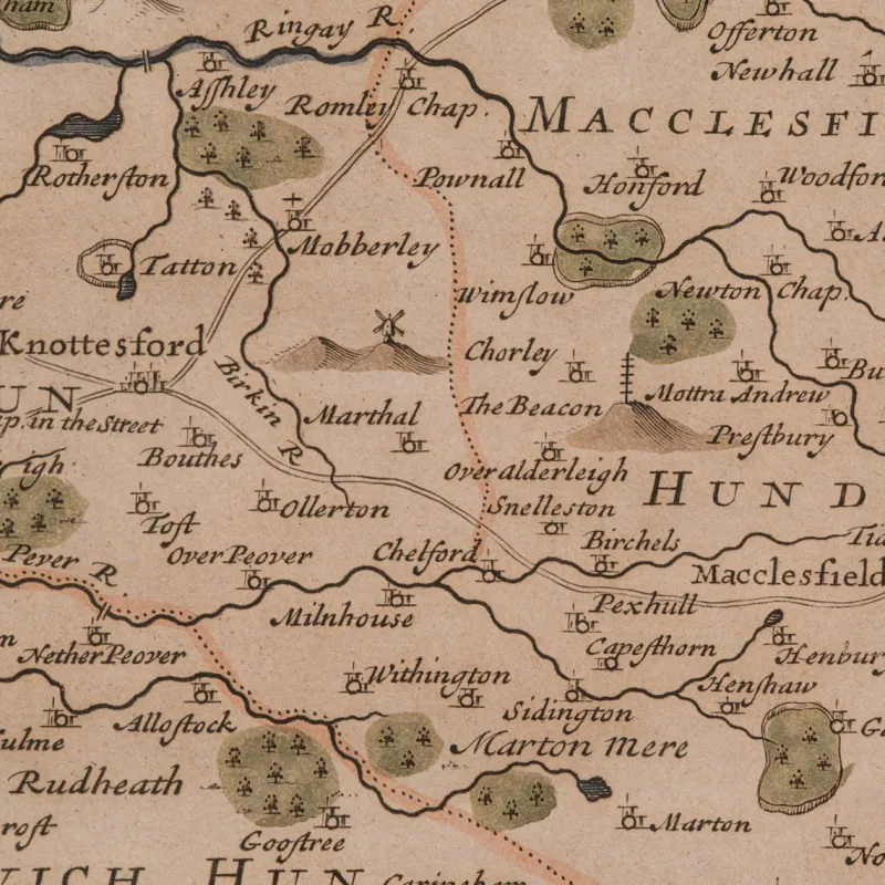
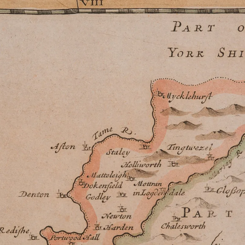
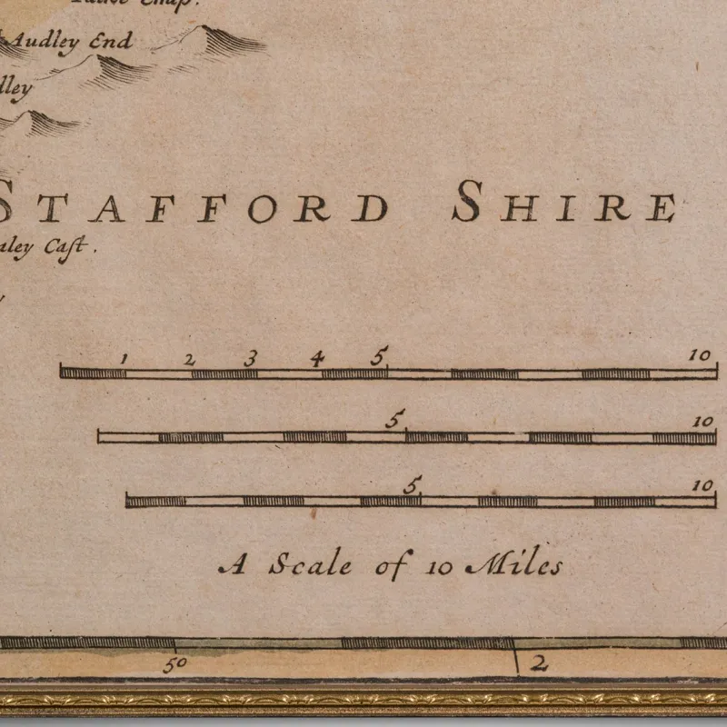
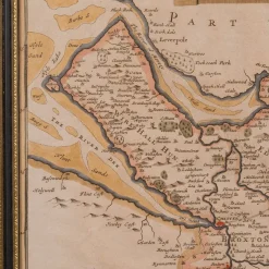
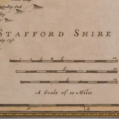
Engraved cartography displays the administrative Hundreds and antique spellings of familiar towns and regions
Hand coloured accents enrich the visual appeal, with delicate tonality throughout
Presented in a tasteful later frame, offering sympathetic enhancement to the period character
Glazed with clear glass, protecting the map while ensuring excellent clarity
Dressed to the rear with mounting braid, ready for immediate wall hanging
A wonderful piece for collectors of early British cartography, or those with a fondness for Cheshire heritage
This antique county map is a delightful and informative decorative piece, steeped in early Georgian geography. An ideal addition to the traditional study, country house interior, or heritage gallery wall. Delivered ready to display.
Dimensions:
Max Width: 44cm (17.25”)
Max Depth: 1cm (.5”)
Max Height: 37.5cm (14.75”)
Map Width: 41cm (16.25”)
Map Height: 34.5cm (13.5”)
Presented in good antique condition.
The seller assumes all responsibility for this listing.
About This Piece
Vintage Design
Fascinating 18th century map of the County and Palantine of Chester, brimming with historic detail and charm
Posthumous reproduction of Robert Morden’s celebrated work, as published in Magna Britannia by Thomas Cox, 1720
Engraved cartography displays the administrative Hundreds and antique spellings of familiar towns and regions
Hand coloured accents enrich the visual appeal, with delicate tonality throughout
Presented in a tasteful later frame, offering sympathetic enhancement to the period character
Glazed with clear glass, protecting the map while ensuring excellent clarity
Dressed to the rear with mounting braid, ready for immediate wall hanging
A wonderful piece for collectors of early British cartography, or those with a fondness for Cheshire heritage
This antique county map is a delightful and informative decorative piece, steeped in early Georgian geography. An ideal addition to the traditional study, country house interior, or heritage gallery wall. Delivered ready to display.
Dimensions:
Max Width: 44cm (17.25”)
Max Depth: 1cm (.5”)
Max Height: 37.5cm (14.75”)
Map Width: 41cm (16.25”)
Map Height: 34.5cm (13.5”)
Presented in good antique condition.
Click here for full descriptionClose description
| Design Period | 1890 to 1919 |
|---|---|
| Year | 1900 |
| Production Period | 1890 to 1919 |
| Country of Manufacture | United Kingdom |
| Style | Georgian, Antique |
| Detailed Condition | Good — This vintage/antique item may have some wear such as scratches and other signs of ageing. |
| Restoration and Damage Details | Light wear consistent with age and use, Presented in good antique condition. |
| Product Code | KTO-2331150 |
| Materials | Glass, Paper |
| Color | Brown, grey, black, green |
| Width | 44 cm 17.3 inch |
| Depth | 1 cm 0.4 inch |
| Height | 38 cm 14.8 inch |
Be the first to review “Pamono 18th Century Antique English Framed Cartography County Map of Cheshire from Robert Morden”
Related products

Beds & Bedroom Sets

Children's Chairs
Dressers, Commodes & Chests

Daybeds & Chaises Lounges



Cabinets & Wardrobes


Dining Tables & Sets
New Pamono Vintage Table in Glass and Black Lacquered Metal, 1960s


Login
Reviews
There are no reviews yet.